EW3D 2.8

EW3D is an earthworks 3D analysis and design program
Rating
Your vote:
Latest version:
2.8.5.1 See all
Developer:
MES Innovation Sdn Bhd
Screenshots
1 / 3
Awards (1)
Show all awards
Software Informer Virus Free award
Download
26.5 MB

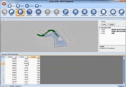
EW3D is an earthworks 3D analysis and design program that enables you to import and trace the existing ground levels from surveyor drawing (DXF and DWG) which are spot level points or contour lines or even texts without any Z coordinates. It has support for both Digital Terrain Method and Grid System.

Comments

User

Your vote:

Related software

Home Plan Pro
Home Plan Pro
rating

CAD software for architects and engineers.

Easy Plan Pro
Easy Plan Pro
rating

Very useful and creative program.

Virtual Surveyor
Virtual Surveyor
rating

It can handle large data volumes from UAV TrueOrthophotos and elevation models.

Terrain Analysis Package (TAP)
Terrain Analysis Package
rating

The app includes 27 different modules that enables you to make terrain studies.

xCAD Interior Design
rating

xCAD Interior Home is a tool for planning and visualizing of interior designs.

Related suggestions